The Trails
Guide
Maps
Miles/Ele
Permits
Resupply
Forum
Current Weather Conditions
Weather Notes
Northern High Sierras
Central High Sierras
Southern High Sierras
Gear
Gear List
Gettin Started
Layering
Discussion
Testing yourself and your gear
Gear Reviews
Backpacking
Southwestern Edge of the Lake Tahoe Basin
South to Showers Lake from Echo Summit in the Meiss Country Roadless Area
Languages
Languages
Trail Arts
The art of walking
Physical Preperation
Trail Skills
The trail
Off the trail
Scrambling
Maps
Navigation
Camp skills
Food
Resupply
Food
Other
Photo Catagories
Trail Stories
Trail Culture
News and Science
Links
Groups
Books
Terms and Conditions of Use
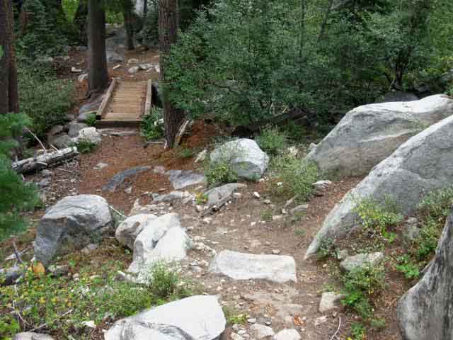
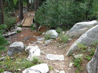
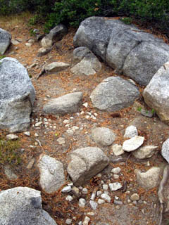
South of the footbridge the trail gets harder as we begin climbing
 |
|||
1.40 miles south of Echo Summit we encounter this foot Bridge across the creek feeding Benwood Meadow, off to the Left.
|
Trail Information
Footbridge
|
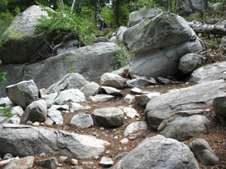
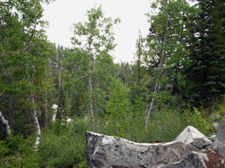
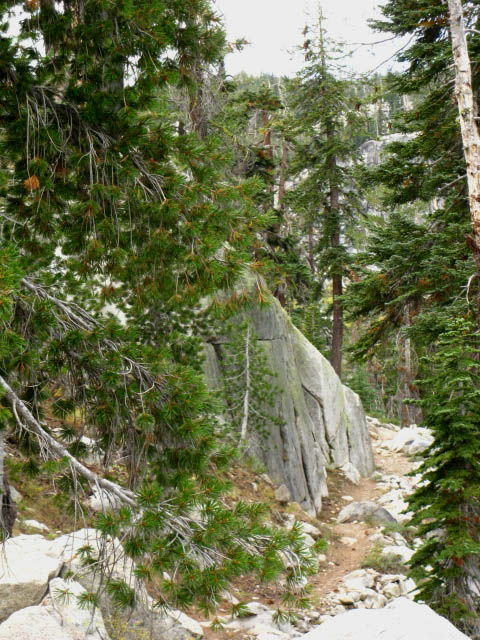
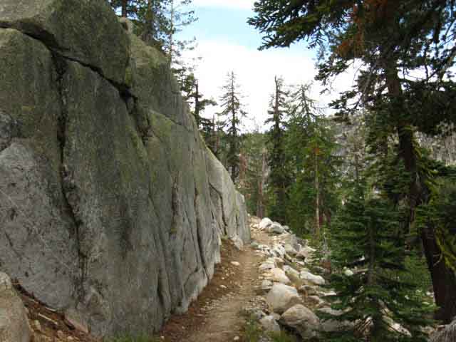
North: Frog Lake Loop South: Meiss Roadless Area Rock
The Meiss Country Roadless Area |
|||
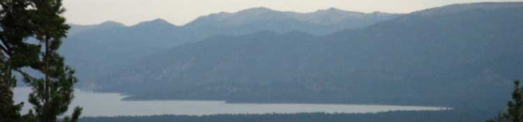
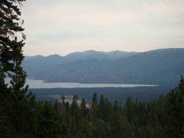
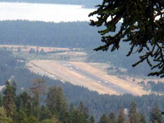
Hitting the footbridge marks the point where the trail difficulty transitions from Intermediate difficulty 3, the lowest level of intermediate difficulty, to Intermediate difficulty 1, the hardest of the three levels of intermediate difficulty. From the footbridge to the Sayles Canyon junction we will be going constantly up and down, as if on a washboard or roller coaster tilted mostly upward for 1383 feet over almost three miles. Our first target is the gap with a fantastic overlook of the Tahoe Basin about halfway up our climb. Once we get over the highpoint of this section of trail across Peak 8905 our descending trail relaxes to Easy 1, South through the Sayles and Schneider trail junctions to Showers Lake. Easy 1 is the most difficult degree of easy level trail.
Next page Comments-questions-experiences in here?
|
Backpacking Trail Guide North |
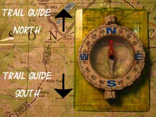 |
Backpacking Trail Guide South |
Backpacker ForumsHave a backpacking issue to relate?Post it on On the TRAILS Forum you can browse the locations and add your experiences, comments, questions (or pictures and videos) about hiking South out of the Echo Summit Trail Head. The TOPICS Forum deals with backpacking issues.
General comments about the Echo Summit to Carson Pass section of the trail: Section
|
North: Frog Lake Loop South: Meiss Roadless Area Rock
Trailhead
Contact
Alex Wierbinski

Backpacking Lake Tahoe to Mount Whitney
Your guide to the High Sierra Crest, including the Tahoe to Yosemite, Pacific Crest, and John Muir Trails
