

Backpacking topo Map
Wolf Creek
to
Swampy Lake South of Golden Canyon
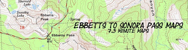
Hiking Maps for The Pacific Crest Trail between Ebbetts Pass and Sonora Pass
| North Topo Hiking Map Tyron Peak to Wolf Creek |
South Topo Hiking map Swampy Lake to Boulder Lake |
Ebbetts Pass to Sonora Pass Miles and Elevations |
BIG TOPO BACKPACKING MAP Ebbetts Pass to Sonora Pass |
Click RED DOTS for links to Trail Guide Page | Trail Guide |
all maps |
all pages | all miles and elevations |
map info |
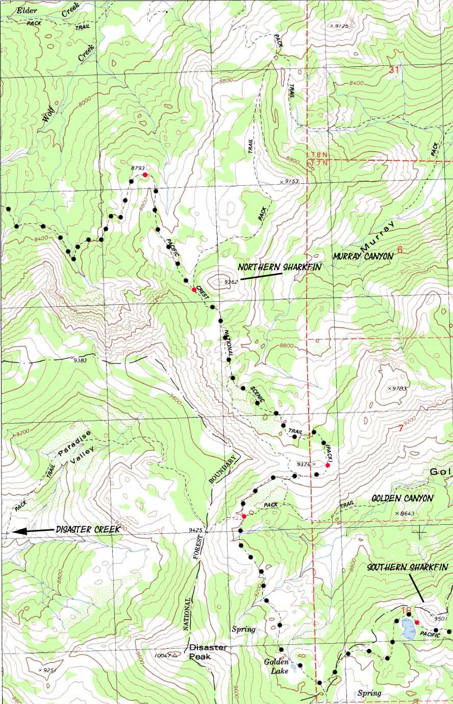
6.02 miles from Wolf Creek to the Swampy Lake South of Golden Canyon in the Carson Iceberg Wilderness
MAP North: Asa Lake to East Carson River Click red dots MAP South: Swampy Lake to Boulder Lake
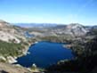
Region Map
Asa Lake to East Fork of the Carson River
|
Region Map
Asa Lake to East Fork of the Carson River
MAP North: Asa Lake to East Carson River Click the red dots MAP South: Swampy Lake to Boulder Lake
| Hiking the Carson Iceberg Wilderness from Wolf Creek across Murray and Golden Canyons |
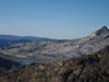
Main Features: Murray and Golden Canyons offer excellent entry points North and South of Carson Falls on the East Carson River. Carson Falls is an exceptional feature. See the videos and forum for more information about Carson Falls. South from Wolf Creek Coming South past Wolf Creek we encounter a large open meadow space to the Northeast where we get long views of Wolf Creek's path below the Eastern flanks of Highland and Silver Peaks. To the Southeast we can see the gelogical structure sticking up out of the terrain that I call "the Northern sharkfin," which marks the beginning of Murray and Golden Canyons. Once we enter Murray Canyon we hiking along the edge of Eastern limit of the East Fork of the Carson River's watershed. Hiking South across the lip of the East-West ridge dividing Murray and Golden Canyons gives us broad views South of Stanislaus Peak backed up in the far South by Sonora Peak. To the East of Sonora Peak we can see the gap where the Pacific Crest Trail exits the headwaters of the East Carson River. To the Southeast we can see the sheer granites of Eastern side of the valley holding the upper reaches of the East Fork of the Carson River. Crossing Golden Canon we come to a cross roads in the trail. To the West, Paradise Valley leads up and over the crestline and down 3.16 miles to Disaster Creek. Heading North, upstream along Disaster Creek Trail brings us first to the trail junction with the trail coming up Arnot Creek, then this unified route intersects with the trail linking Gardner Meadow to Wolf Creek Pass. Heading downstream along Disaster Creek brings you to the Disaster Creek Trailhead at the end of road along the Clarks Fork of the Stanislaus River. To the East the trail through Golden Canyon brings you 3.76 miles down to the East Fork of the Carson River just upstream from Carson Falls. Carson Falls is an amazing geological feature. To the South we have just a couple of more miles before we switchback down to the East Carson River to begin our long ascent up to the East Carson Gap. This map depicts the Pacific Crest Trail from Wolf Creek across Murray and Golden Canyons. |
Maps Miles Elevations Information |
|
Miles and Elevations Wolf Creek 9040 8.63 Murray Canyon 9360 10.87 Golden Canyon 9200 12.73 Marsh Lake 9200 14.65
Ebbetts to Sonora Pass Topo maps Index How to Get Here Ebbetts Pass Trail head Gardner Meadow Trailhead Disaster Creek & Clarks Fork Trailheads Sonora Pass Trailhead Physical location Between East Carson River and Disaster Creek on the East Flank of the High Sierra Crest. |
USGS topo map information Map Name: Dardanelles Cone Calif., 1979, 7.5 minute Topographic
Compass Offset: Magnetic North is 18.25 degrees East of True North
scale: 1:24 000 Contours: 80 Feet
Permits National Forest Contacts Backpacking permitting authority Wilderness Area |
Topo Hiking Map North: Tyron Peak to Wolf Creek Topo Hiking Map South: Swampy Lake to Boulder Lake
| Elevations | More Information | ||
Wolf Creek: 9199 feet Murray Canyon Junction: 9360 feet Golden Canyon Junction: 9200 feet Swampy Lake: 9200 feet |
Trail Guide, Section: Ebbetts Pass to Sonora Pass Trail Guide, trailhead: Ebbetts Pass Trailhead Trail Guide, trailhead: Gardner Meadow Google Map: Highway 4 |
||
| MAP CREDIT | ||
U.S. Geological Survey, Department of the Interior The USGSDownload Free USGS Maps: Move the Map to the Sierras. Select size of Maps you wish to locate. Click "Mark Point" on map to see the USGS map grid of the selected map scale. Select your quadrangle, then click the marker. Select your map size, and click "download." USGS Topographic |
||
Ebbetts Pass
Trailhead
Gardner Meadow
Trailhead
Disaster Creek & Clarks Fork
Trailheads
Sonora Pass
Trailhead